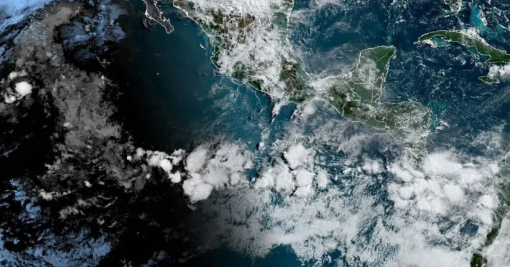
According to the National Oceanic and Atmospheric Administration’s (NOAA) Diagnostic Prediction Center, ENSO-neutral conditions are expected to continue for the next several months. However, there is a significant likelihood that the La Niña phenomenon will emerge during the August-October period, with a 70% chance of occurrence, and persist through the Northern Hemisphere winter of 2024-25, with a 79% chance of continuing through November-January.
Current ENSO-Neutral Conditions
Throughout the past month, ENSO-neutral conditions have been maintained. This is evidenced by mostly near-average sea surface temperatures (SST) across the eastern and central equatorial Pacific Ocean. The most recent weekly Niño-3.4 index was recorded at +0.3°C, while SST anomalies were slightly cooler in the eastern Niño-3 region (-0.1°C) and warmer in the western Niño-4 region (+0.5°C).
Despite a weakening in below-average subsurface temperatures, negative anomalies continue to dominate the eastern half of the Pacific. Low-level wind anomalies have been easterly over the western equatorial Pacific, while upper-level winds were westerly over the eastern Pacific. Convection activity has remained near average around Indonesia and the Date Line. Collectively, these factors indicate the persistence of ENSO-neutral conditions.
Transition to La Niña
The International Research Institute (IRI) has adjusted its projections, now anticipating the onset of La Niña to occur between September and November 2024. This revised forecast delays the expected development compared to previous predictions, but the transition is still expected to happen earlier, in the August-October timeframe.
This adjustment is supported by several factors, including continued below-average subsurface ocean temperatures and near-term forecasts suggesting a resurgence of easterly wind anomalies in July. These conditions are conducive to the development of La Niña.
Implications of La Niña
La Niña, characterized by cooler-than-average sea surface temperatures in the central and eastern Pacific, can significantly influence global weather patterns. Typically, La Niña conditions lead to wetter-than-normal conditions in Southeast Asia and Australia, and drier-than-normal conditions in the central Pacific, including Hawaii and western South America. In North America, La Niña often results in wetter winters in the Pacific Northwest and drier conditions in the southern United States.
As we approach the predicted transition period, monitoring the evolution of these conditions will be crucial for preparing for the potential impacts of La Niña on global weather patterns. NOAA and other meteorological organizations will continue to provide updates as the situation develops.
